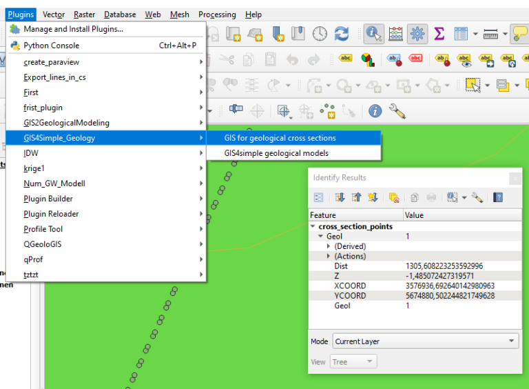
The new tool GIS4GEOLOGY (Download) supports the cross-section creation based on a 1 geological map, 2 boreholes as vertices for a cross-section line, the according borehole information including depth and geological information and 3 a digital elevation model. Even complex geometries can be digitized as intersection lines between layer base and cross-section. A sophisticated interpolation is only possible for simple layers on a raster base.
A manual and a sample dataset with virtual borehole data are also provided.
The tool is completely written in Python, comes with a GUI and is OpenSurce (GPL 2 or later). We plan to place it in the official repository of QGIS in the next version.